DC's streetcar, not being a metropolitan service isn't included, nor is the Purple Line light rail for Montgomery and Prince George's Counties, because embarking on construction is held up in court proceedings.

Integrated rail transit map for the Washington DC Metropolitan area by Paul J. Meissner.
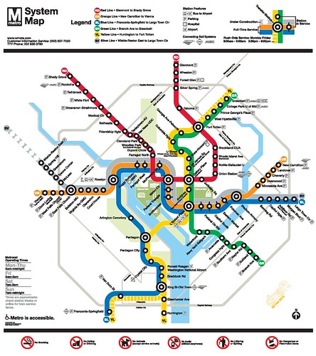
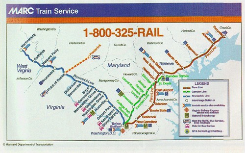
I asked Paul to create this map to help me demonstrate the disconnection between services in the present day--although the WMATA map does show connections to the railroad services on their map, the railroad maps--Virginia Railway Express and MARC--do not show Metrorail, and Metrorail maps don't show VRE and MARC.
WMATA map

VRE map (Washington Post graphic)
MARC map


No comments:
Post a Comment